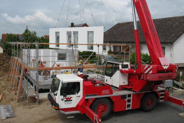
Wait… What’s a “GIS Scene”?
Think of it like Google Earth, but supercharged for homebuying. A GIS (Geographic Information System) Scene combines:
Real-world mapping data (terrain, roads, flood zones)
Your future home in photorealistic 3D
Smart layers like sunlight paths, noise maps, and council zoning
Basically, it lets you test-drive your property in the actual environment before you buy. No more nasty surprises!
1. Spot Deal-Breakers You’d NEVER See in Person
Open houses don’t show:
✅ Flood risks (your “dream backyard” could be a swamp in winter)
✅ Traffic noise (that “quiet street” might be under a flight path)
✅ Future developments (hello, surprise high-rise blocking your view!)
Pro Tip: GIS scenes reveal exactly where water pools on your block after rain. No more “why is our garage always flooded?” moments.
2. Avoid the “Why Is Everything So… Off?” Feeling
Ever moved in and realized:
The “north-facing” living room gets zero sun?
Your car doesn’t fit in the steep driveway?
That “walk to cafes” is actually up a crazy hill?
GIS scenes show:
☀️ Sunlight angles for every season
🗺️ Walkability scores with elevation maps
🚗 Driveway gradients (RIP low-ride cars)
True Story: A Gold Coast buyer nixed a house when their GIS scene showed the pool would be in shadow all winter.
3. Win at Renovation Roulette
First-home buyers love “good bones” places… until council says:
🚫 No second story (heritage overlay)
🚫 No granny flat (setback rules)
🚫 No giant windows (bushfire zone)
GIS scenes include:
📜 Interactive zoning maps
📏 Virtual “what if” testing (try adding that extension digitally first)
Life Saver: A Sydney couple discovered after buying that their “renovator’s delight” couldn’t be altered. Don’t be them.
4. Negotiate Like You’ve Got the Blueprints
Agents hate when you know:
💧 The real flood history (not their “never had water” story)
🌳 That protected tree ruining your build plans
📡 Power lines about to go up nearby
GIS scenes give you:
🔍 Decades of satellite imagery
⚖️ Legal overlays (easements, covenants)
Mic Drop Moment: A Brisbane buyer got $72K off when their scene proved the land was unbuildable without costly retaining walls.
5. See 10 Years Into the Future
Will your new place:
🌡️ Turn into an oven with climate change?
🚧 Get a noisy highway next door?
🏗️ Lose its views to new developments?
GIS predicts:
📈 Heat maps for 2030+
🏙️ Approved developments in the pipeline
Reality Check: A Perth family avoided a “bargain” block that’ll be surrounded by warehouses by 2027.
How to Get Your 3D GIS Scene
Ask the agent for one (only 12% have them… yet)
No luck? Companies like 3dFlats.au can create one in 48 hours
Review like a pro – check sunlight, slopes, and sneaky restrictions
Bonus: Some lenders now accept GIS scenes instead of costly soil tests!
Don’t Buy Blind
Your phone can show how a couch looks in your lounge… why wouldn’t you scan the entire property before dropping $800K?
“This isn’t due diligence – it’s dodge-a-bullet tech”
“Agents hate this one trick (because it works)” 😎
🚀 Demand a GIS Scene Today – Because “Oops” Isn’t an Option With Life Savings.